Here is what the Met Office says about snow.
After a balmy opening to November, things are about to flip. The national forecaster says a shift in the jet stream will open the door to an incursion of Arctic air, sending temperatures tumbling and raising the prospect of wintry weather in the days ahead.
It follows a remarkably mild spell, with warm southerlies and stubborn cloud keeping nights unusually soft for the time of year. Bonfire Night was the mildest on record, dipping only to 14.4C in Teddington in south-west London. Now the focus moves to next week, with a colder, more changeable set-up developing. And that is where it gets interesting.
Arctic air on the move, and why the Met Office sees a wintry turn
In a long-range outlook, Alex Deakin, a Met Office meteorologist, said a frosty weather system linked to Iceland is likely to slip south during the middle of next week, tracking down the eastern side of Scotland and Wales. He outlined how a change in pressure would help that colder air dig in across the UK, making it feel much sharper than the first half of the month.
Alex Deakin said in his forecast « Through the middle and end of next week, things perhaps get a bit more interesting. There’s the potential for a weather system to push its way southwards as the high drifts away towards the west. » He added « If this happens, we could get some snow on the northern edge of it, which then feeds its way southwards. This means we could see a bit of snow across many places. »
He then pointed to a key window around Thursday 20 November. « Looking at this chart for Thursday (November 20), even across southern parts of the country, it’s highlighting around a 20% – maybe even greater than 20% – chance of seeing more than 1cm of snow. So, things could turn quite wintry. » And yet the signal may ease late in the week. Alex Deakin added « There’s perhaps a lower chance of snow as we go through Friday and more so by Saturday, with something milder moving in. »
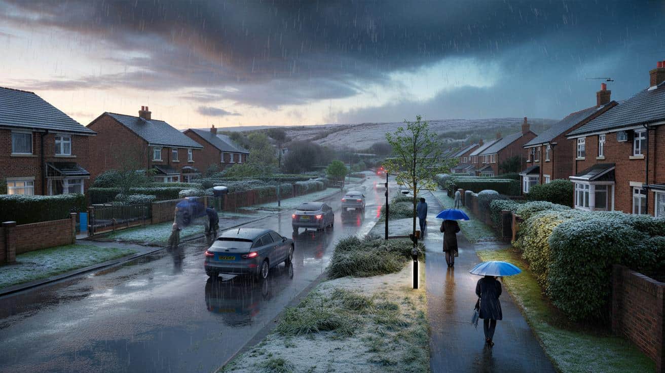
Snow risk by region, and the subtle detail that could change everything
The most likely first targets for any wintry showers will be northern hills and the eastern uplands, given the flow and the source of the air. If the weather front digs far enough south, flakes could briefly reach lower levels, especially on the back edge of any bands of rain. That matters for the commuter belt, where even a short burst of sleet can slow the morning rush.
The Met Office outlook hints at a north to south feed during midweek, with colder conditions expanding across England and Wales on Thursday. Confidence in exact placement remains modest, which is typical at this range in November. The public are being urged to plan ahead, even if the forecast change.
Forecasters also expect a temperature drop compared with the unseasonable warmth that started November. That earlier warmth owed a lot to a southern airflow and cloudy nights trapping the heat near the surface. Late in the month the pattern may turn drier at times, with a greater chance of high pressure as we edge toward December, but that can often mean frosty starts.
- Thursday 20 November is the day to watch, with the Met Office highlighting around a 20 percent chance of more than 1 cm of snow even in some southern counties.
Before the chill, Storm Claudia and an amber warning for rain could derail plans
Before the cold arrives, attention swings to heavy rain and strong winds late this week. Storm Claudia, named by the Spanish meteorological service, will throw bands of intense rain across the country on Friday with gusty conditions in the west. The Met Office has issued an amber warning for rain from midday to the end of the day, covering parts of Wales, the Midlands, the South West, the South East and the East of England.
Some areas could see up to 80 mm of rain. Deep floodwater could pose a danger to life, and that brings a real risk of stranded vehicles and impassable roads. A separate yellow warning for rain runs from 6 am on Friday for 24 hours, covering much of England from Cheshire and North Yorkshire down to the south coast. There is also a wind warning with gusts up to 70 mph in some western spots from noon to midnight.
The Met Office said the weather may lead to power cuts, travel disruption and damage to buildings. Those travelling are urged to be cautious, especially on higher routes where crosswinds can make driving tricky. Rail and air passengers should allow extra time, as crews often reduce speeds in poor visibility and on waterlogged sections.
So the story of November shifts quickly. First the rain, then the colder plunge. Alex Deakin summed it up simply « But it’s worth highlighting that yes, things are going to turn colder as we go through next week, and with that, there’s a reasonable chance of seeing some sleet and snow overall. »
For now, the advice is straightforward. Keep an eye on updated warnings, check local forecasts as the track firms up, and be ready for a sharper feel by midweek. It might only take one passing band on Thursday to deliver that first wintry taste of the season.