
A fresh forecast now hints at the first flakes.
After an unusually mild opening to November, a sharper, wintry feel is moving in across London. A new modelled map points to a precise date for the capital’s first potential snowfall, while the BBC sets out a colder, wetter pattern that favours sleet and frosty starts.
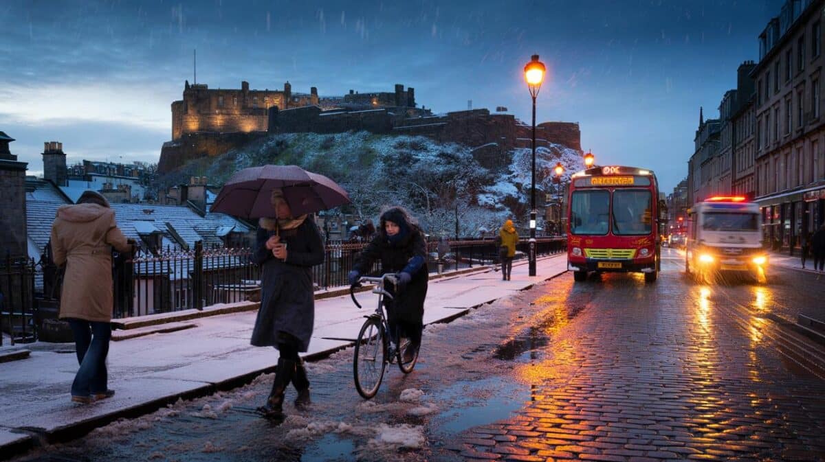
The change comes fast, and it lands just as many of us reach for scarves and gloves again. Guidance also flags other parts of the UK in the firing line, from the East coast to Northern Ireland and Scotland. All eyes now turn to a single early morning window.
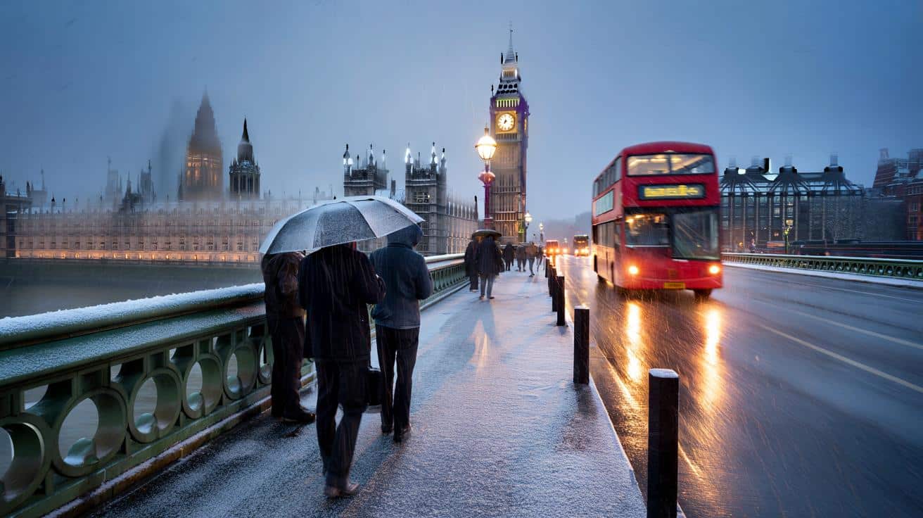
The London forecast that points to Thursday snow and sleet
New guidance from WX Charts signals a chance of snow over London during the early hours of Thursday 20 November. The same map highlights further wintry signals along the East coast and into parts of Northern Ireland and Scotland, a classic set-up as colder air edges south.
The latest BBC London outlook lines up with that picture. It flags sleet between 6am and 9am on Thursday, with temperatures dipping to 2C. Snow chances looks highest before dawn, then fade as daylight lifts the thermometer.
Skies brighten a little around midday, yet values are not expected to climb beyond 5C. The broader trend shows a marked step down from the balmy feel seen earlier this month, with showers becoming more frequent through the week.
Across the run-up, the daily forecast turns down day by day. Starting Thursday 13 November with drizzle at 16C, it trends to heavy rain on Friday at 14C, then light rain on Saturday at 13C and Sunday at 11C. Early next week turns brighter but colder, with Monday at 8C and Tuesday at 6C, before a midweek nudge to 7C and that sleety Thursday at 6C, then a slow recovery to 9C by Sunday 23 November.
What sleet really means for the commute in London
So what are we looking at if sleet shows up. Sleet is a winter precipitation type that mixes rain and snow, with raindrops and snowflakes falling together. It can feel messy on the ground, often melting on contact in the city while still reducing visibility and making pavements slippery.
Forecast confidence can wobble when the atmosphere hovers near freezing. Small temperature swings through the air column decide whether the cloud sends rain, sleet or snow. A one or two degree shuffle can flip the outcome, which is why early morning calls feel cautious.
- Between 6am and 9am on Thursday 20 November in London, the BBC signals sleet risk with lows near 2C
That early window matters for travel. Roads can feel greasy, platforms can be slick, and windshields may need an extra minute. Then, as the sun nudges through by lunchtime, the chill eases a notch even if it stays cold.
The local twist that makes snow in Croydon and not in Tooting
London’s patchwork of microclimates often decides who wakes up to white cars and who sees plain rain. A local expert puts it down to height above sea level and tiny shifts in a weather front’s track. The result is that streets a few minutes apart can report different scenes.
Ian Currie told MyLondon: « Snow is very dependant on the of where you are. For every 50 feet, 15 metres or so, you get higher up there is an increased likelihood of an extra day of snow. So if you take parts of South Croydon for example, Sanderstead and Selsdon, you are likely to get 10 more days of snow a year there than parts in the north of Croydon. »
« It can change that much in a small distance. Again out by Biggin Hill there is much more chance of getting snow than Streatham or Tooting for example. »
He points to how sensitive the set-up can be when fronts approach from the Atlantic. Shift the path a touch and the whole feel of the day flips. Currie added: « We’re talking about very dynamic, complex systems. A weather front could be thousands and thousands of miles away, but if it arrives just a little bit off the predicted path, the weather can be totally different. »
« Snow is very hard to predict because in this country we’re so close to that critical point where the temperature drops enough for precipitation to fall as snow. In Sweden, you could safely predict that a weather front would bring snow, but here just a change of a couple of degrees could make the difference. »
That is why a map can hint at flakes for London while reality delivers sleet in the central boroughs and a dusting on higher ground like Biggin Hill. It also explains why the BBC keeps the wording careful for Thursday morning. And yet, the first proper taste of winter is now firmly on the table.


Honestly, I’m definately ready for that first cold snap—scarves back on, bring on the flakes if they actually show before dawn.