November has arrived with questions, and Britain watches the skies closely.
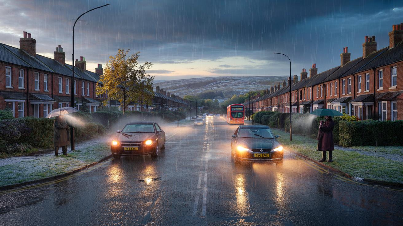
Early November has turned brisk and blustery, fuelling whispers of an early cold snap. But long-range guidance points to a different story for most of us: rain-driven systems, frequent gusts and temperatures that sit a notch above the seasonal norm.
What forecasters are signalling for November
Low pressure looks set to keep control into mid-month, sending bands of rain and showers across the country. Western hills stand to catch the heaviest bursts, with windier spells pushing through on the core of each system. Eastern counties should grab the brighter gaps more often, though showers will still dot the radar.
Widespread lowland snow looks unlikely this November. Rain, brisk winds and pockets of mild air carry the day for most regions.
Into the second half of the month (16–30 November), the pattern may ease as higher pressure noses in for spells. That shift would favour drier weather, lighter winds and increased overnight fog and frost. Any clear, calm nights could dip close to freezing in the countryside, but daytime temperatures still lean near or slightly above average overall.
Temperatures: above average tips the balance
Typical UK November daytime highs run around 7–10°C in the north and 9–12°C in the south. Current signals point to values a degree or two higher at times, especially during unsettled westerlies. Nights start on the milder side where cloud lingers, reducing the frequency of frosts early on. Later in the month, if high pressure settles overhead, rural dips to 0–2°C become more likely, with -2°C possible in frost hollows on the clearest nights.
Above-average temperatures early on reduce the chance of snow at low levels, even during heavy showers.
Will it snow in November?
Lowlands: a slim chance
For most towns and cities, the odds favour cold rain or sleet over settling snow. Ground and road temperatures remain relatively warm after a mild autumn, so even if air temperatures flirt with 2–3°C during showers, accumulation would struggle.
Uplands and Highlands: brief wintry shots
Scottish Highlands and the highest Pennine tops could see transient snow during northerly or north-westerly bursts, especially above 600–800 metres. These events tend to be short-lived under an Atlantic regime, with thaw following as milder air returns.
What to expect by region
- West and southwest: frequent rain bands, localised downpours, gusts 40–50 mph on exposed coasts, brief brighter breaks between fronts.
- Northwest Scotland: the windiest spells; showers turning heavy and persistent at times; occasional wintry mix over the highest tops.
- Midlands and southeast: drier interludes more likely; sunshine and scattered showers; frost or fog risks grow later in the month under calm nights.
- Northeast England and eastern Scotland: fewer showers than the west; some crisp, sunny windows; colder nights if skies clear for long enough.
Week-by-week outlook at a glance
| Period | Dominant driver | Typical daytime highs | Wind/gusts | Snow risk (lowlands) |
|---|---|---|---|---|
| Now to 10 Nov | Low pressure, frequent fronts | 8–12°C south, 6–9°C north | Breezy widely; 35–45 mph west coasts | Very low |
| 11–15 Nov | Changeable; showers with short lulls | 9–13°C south, 7–10°C north | Occasional gales in the west | Very low |
| 16–23 Nov | Possible build of high pressure | 7–11°C south, 5–9°C north | Lighter winds; fog risk increases | Low (fog/frost more likely) |
| 24–30 Nov | Uncertain; drier spells favoured | 6–10°C south, 4–8°C north | Mostly modest; chilly nights | Low, slight uptick on northern hills |
Why rain beats snow this time
Two factors keep the white stuff at bay. First, the Atlantic keeps sending relatively mild, moisture-laden air. Second, sea-surface temperatures remain elevated for November, adding a few degrees to onshore winds. That extra warmth lifts freezing levels above many hilltops during the wettest spells. Snow then retreats to the highest peaks and clears quickly once milder air follows.
For lowland snow to take hold, you need cold air locked in place, low dew points, and heavy precipitation to drag the freezing level to the surface. Early November rarely ticks all three boxes outside of brief northerly snaps.
What the next few days look like
Rain clears eastern England at times to leave bright periods and scattered showers. Northern and western Scotland stays windier with more persistent showers. Evenings start clear in places and turn chilly before another shield of cloud and rain moves in from the west, lifting temperatures overnight.
Travel and day-to-day impacts
- Commuting: expect surface water and spray during heavier bursts; plan extra time on the western corridor routes.
- Coasts and high routes: gusts 40–50 mph may bring crosswinds on bridges and exposed moorland roads.
- Air quality: cleaner on windy, showery days; stagnant under any late-month fog.
- Gardens and pipes: early frosts become more plausible later in the month; lag outdoor taps and protect tender plants.
Could late November flip to wintry?
It can, if high pressure parks to the north or east and draws colder air across the UK. That setup increases frost and fog, and it can introduce wintry showers to North Sea coasts if an easterly develops. At present, guidance leans towards near or above average temperatures overall, with any colder interludes short and patchy.
How to read the snow signals
Key thresholds that matter
- Wet-bulb near 0–1°C: supports sleet/snow at the surface during heavy precipitation.
- Dew point below freezing: favours ice and settling snow, especially at night.
- Freezing level under 300–400 m: brings wintry risk to low hills; higher values confine it to tops.
- Ground temperature: warm ground after mild spells melts early flakes on roads and pavements.
Extra context for planners and the curious
Urban areas hold heat longer due to buildings, tarmac and waste heat. That urban heat island effect can keep night-time minima 1–3°C higher than nearby countryside, turning marginal snow to cold rain. Rural dips in valleys behave differently: clear skies and calm winds favour sharp radiative cooling, which can bring a frost even when nearby towns remain a few degrees milder.
If you track model charts, focus on pressure patterns rather than one-off snowfall runs. A blocked pattern to the north increases risk; a strong Atlantic jet lowers it. For now, the jet stream aims fronts at the UK, so pack the umbrella, tie down loose garden items, and keep an eye on those late-month fog risks when the wind eases.